International Course: The Application of the Geographical Information Systems (GIS) to the Research in Humanities
12.12.2017-13.12.2017
Facultad de Filosofia y Letras, Campus de Cartuja (UGR)
Granada, Spain
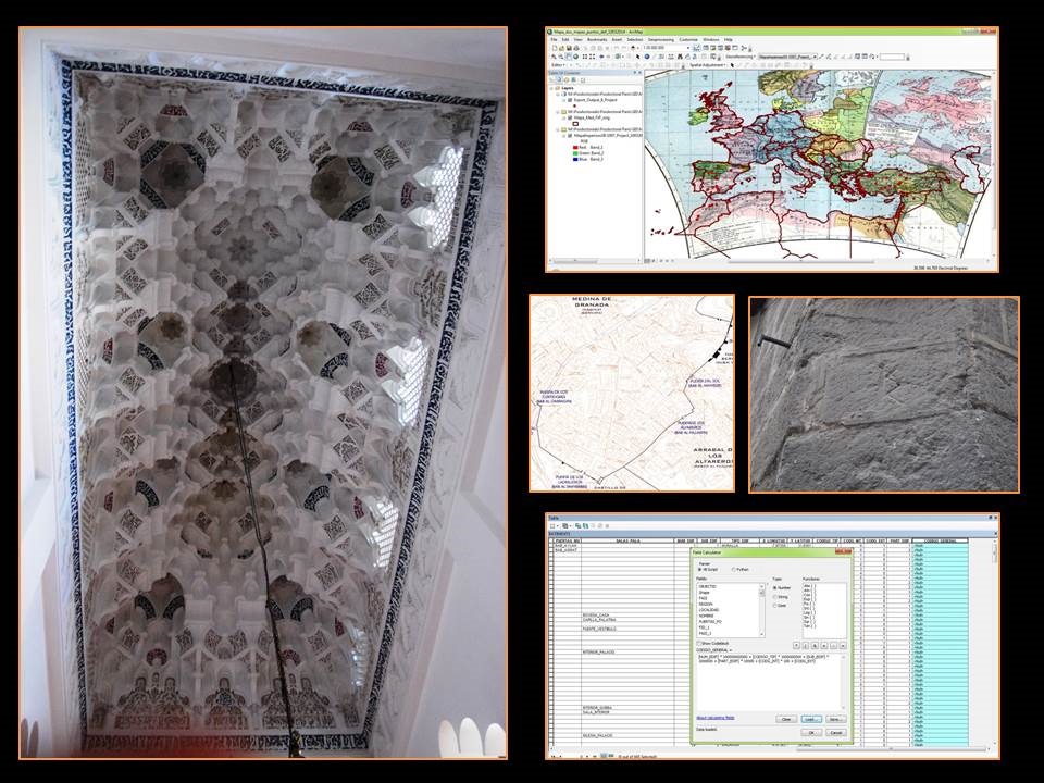
The aim of this International Course is to make an approach to the use of new technologies in the research in medieval History and Art History. In this framework, during the first day there will be an introductive theoretical part to become familiar with the Geographical Information Systems (GIS). It will be followed by the exposition of several real applications of this methodology to the research in urban history, medieval written sources, heritage conservation and artistic exchanges. The teachers of the course are experts from French, Spanish and Portuguese research centres, who have applied to their own research this method in different ways.
During the second day, two practical sessions will be developed. In the first one, all participants will be proposed to apply the GIS tools to create a simple GIS project. They will explore the possibilities of this tool to create a basic database and some cartographical material. During the second session, we will help the participants to apply the GIS to their own research projects. Although there will be computers in the room, if any participant would like to bring his/her own computer, it will be necessary to install in advance the QGIS program and the complements OpenLayers Plugin, MMQGIS and QGIS2WEB following this link: www.qgis.org/es/site/forusers/download.html
Registration
Free registration | 20 vacancies available [FULLY BOOKED]
Registrations are open until 10 December, by email to: mmcobaleda@ugr.es; mmcobaleda@fcsh.unl.pt; iem.geral@fcsh.unl.pt
Organisation: ArtMedIGIS Project (MSCA – H2020, No. 699818); Instituto de Estudos Medievais – Faculdade de Ciênciais Sociais e Humanas da Universidade Nova de Lisboa (IEM-NOVA FCSH)
Collaboration: Universidad de Granada (UGR); Proyecto PREFORTI (BIA2015-69938-R); Humanidades Digitales Hispánicas (www.humanidadesdigitales.org)
Direction and coordination: María Marcos Cobaleda