The Cava de Viriato is today undergoing an unprecedented digitalisation operation through the completion of a very high resolution ortho-photomap.
This “radiography” is carried out by a drone and will provide for the production of a digital model of the surface and the terrain of this national heritage and monument (since 1910), and its surrounding spaces.
This iniciative takes place under the auspices of the VISEU PATRIMÓNIO municipal program and with Catarina Tente as its scientific coordinator.
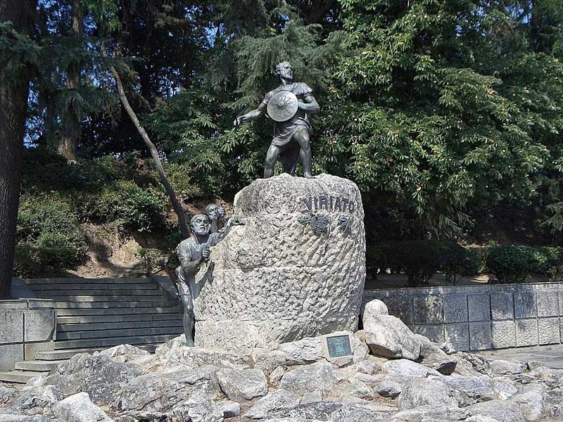
The Cava de Viriato is the largest earth construction in the Iberian Peninsula, forming a perfect octagon two kilometres long. From a Roman camp to an Arab military structure, the Cava has been subject to several interpretations. However, the most recent thesis suggests the structure was built during the Christian occupation of the 9th and 10th centuries, and may correspond to a project for a new city of power.
“We will not give up on a systematic research agenda for Cava de Viriato, which remains the greatest mystery in national archaeology”, justifies Viseu’s Councillor for Culture and Heritage, Jorge Sobrado. “Its monumentality and uniqueness fully justify the priority of research and dissemination that we attribute to this municipal program,” he explains. “Any approach to its truth will be an achievement and a stimulus”.
This application of digital technology not only allows for the production of high-resolution images of the surface and of the existing structures but also makes it possible to carry out physiographic analyses and calculate volumes, such as forest covers, quarries, embankments, urban buildings, agricultural plots, among other structures.
Furthermore, it is expected that the information produced will allow for a better understanding of the monument’s structure and a deeper identification of eventual structures or remains that may still be buried, and deserves future observation and excavation.
“The Cava de Viriato still provides a challenge for research as there is no unequivocal evidence of the time when it was built nor of the function it originally played”, says researcher Catarina Tente, who has dedicated an important part of her scientific career to the monument. “This initiative is yet another step towards shedding rigorous light on its history and correspondingly also on the important history of Viseu.
This work is one of the achievements foreseen in the cooperation protocol established this year between Viseu Municipal Council and the Institute of Medieval Studies, NOVA University, and contracted out to the company Geodrone.
The report broadcast by SIC Notícias is available here.